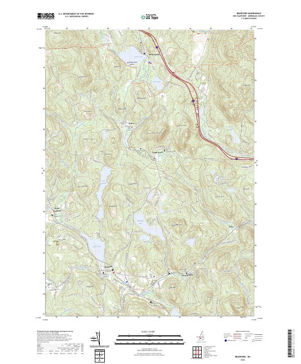
2024 Map of Bradford
USGS Topo · Published 2024About this map
Bradford and the surrounding township of Sutton define this landscape of Merrimack County, where the Warner River and its West Branch carve through a terrain of prominent glacial hills. The area is characterized by its numerous water bodies, from the expansive Todd Lake and Blaisdell Lake to the recreational waterfront at Wadleigh State Beach on Kezar Lake. Small historic clusters such as North Sutton, South Sutton, and Melvin Mills are preserved in detail, connected by winding local routes like Kearsarge Valley Rd and the Sunapee-Ragged-Kearsarge Greenway Trl.
Find a feature on this map
147 named features on this map. Tap any name to fly to it.
Don’t see what you’re looking for? This feature index may not catch every label — zoom into the map to look around manually.
Map Details
Editions of this 2024 Bradford Map
This is the sole edition of this map. No revisions or reprints were ever made.
Other maps of this area

1902 · Sunapee
USGS Topo · 1:62,500

1905 · Sunapee
USGS Topo · 1:62,500

1907 · Sunapee
USGS Topo · 1:62,500

1926 · Hillsboro
USGS Topo · 1:62,500

1928 · Mount Kearsarge
USGS Topo · 1:62,500

1929 · Hillsboro
USGS Topo · 1:62,500

1930 · Lovewell Mountain
USGS Topo · 1:62,500

1931 · Mount Kearsarge
USGS Topo · 1:62,500

1942 · Lovewell Mountain
USGS Topo · 1:62,500

1949 · Portland
USGS Topo · 1:250,000