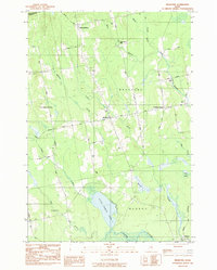
1983 Map of Bradford
USGS Topo · Published 1984About this map
The landscape of central Penobscot County is defined by a series of quiet rural settlements and family cemeteries that mark the late 20th-century character of this Maine interior. Bradford and its outlying hubs, North Bradford and Bradford Center, serve as the primary anchors of the region, connected by a network of local roads such as Sherman Road and Station Road. The survey highlights a dense concentration of burial grounds, including Smith Cem, Trask Cem, and Mills Cem, which provide significant anchor points for local genealogical research.
Find a feature on this map
48 named features on this map. Tap any name to fly to it.
Don’t see what you’re looking for? This feature index may not catch every label — zoom into the map to look around manually.
Map Details
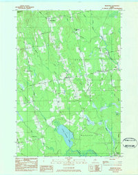
Editions of this 1983 Bradford Map
2 editions found
Other maps of this area

1902 · Bangor
USGS Topo · 1:62,500

1931 · Stetson
USGS Topo · 1:48,000

1932 · Dover-Foxcroft
USGS Topo · 1:48,000

1933 · Boyd Lake
USGS Topo · 1:62,500

1935 · Dover-Foxcroft
USGS Topo · 1:62,500

1935 · Stetson
USGS Topo · 1:62,500

1942 · Bangor
USGS Topo · 1:62,500

1946 · Bangor
USGS Topo · 1:62,500

1948 · Bangor
USGS Topo · 1:250,000

1951 · Boyd Lake
USGS Topo · 1:50,000