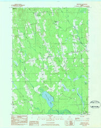
1983 Map of Bradford
USGS Topo · Published 1984About this map
Bradford and its neighboring hamlets in the 1980s represent a rural Maine landscape defined by water and wood. The drainage of Little Pushaw Pond and Pushaw Stream anchors the southern portion of the quadrangle, while the northern reaches are dissected by the Middle Branch and Dead Stream. The distribution of family and neighborhood cemeteries, such as Corner Cem, Trask Cem, and Williams Cem, reveals the enduring footprint of long-established agricultural communities in Corinth, Charleston, and Hudson.
Find a feature on this map
49 named features on this map. Tap any name to fly to it.
Don’t see what you’re looking for? This feature index may not catch every label — zoom into the map to look around manually.
Map Details
Editions of this 1983 Bradford Map
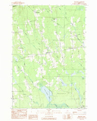
2 editions found
Other maps of this area

1902 · Bangor
USGS Topo · 1:62,500

1931 · Stetson
USGS Topo · 1:48,000

1932 · Dover-Foxcroft
USGS Topo · 1:48,000

1933 · Boyd Lake
USGS Topo · 1:62,500

1935 · Dover-Foxcroft
USGS Topo · 1:62,500

1935 · Stetson
USGS Topo · 1:62,500

1942 · Bangor
USGS Topo · 1:62,500

1946 · Bangor
USGS Topo · 1:62,500

1948 · Bangor
USGS Topo · 1:250,000

1951 · Boyd Lake
USGS Topo · 1:50,000