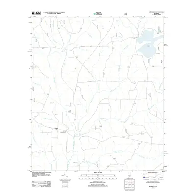
2011 Map of Bradley
USGS Topo · Published 2011About this map
Bradley sits near the southern edge of this Escambia County landscape, serving as a focal point for a region defined by its dense network of tributaries and timberland drainage. The area is marked by a clear genealogical record found in sites such as the Old Bradley Cemetery and the Bradley Church Cemetery, alongside the Blackwater Cemetery further south. These landmarks, situated near the headwaters of the Blackwater River, suggest a long-established rural community organized around small church congregations and family holdings.
Find a feature on this map
42 named features on this map. Tap any name to fly to it.
Don’t see what you’re looking for? This feature index may not catch every label — zoom into the map to look around manually.
Map Details
Editions of this 2011 Bradley Map
This is the sole edition of this map. No revisions or reprints were ever made.
Other maps of this area

1948 · Munson
USGS Topo · 1:62,500

1949 · Crestview
USGS Topo · 1:62,500

1950 · Munson
USGS Topo · 1:62,500

1951 · Crestview
USGS Topo · 1:62,500

1953 · Andalusia
USGS Topo · 1:250,000

1957 · Andalusia
USGS Topo · 1:250,000

1957 · Pensacola
USGS Topo · 1:250,000

1959 · Pensacola
USGS Topo · 1:250,000

1960 · Pensacola
USGS Topo · 1:250,000

1971 · Dixie
USGS Topo · 1:24,000