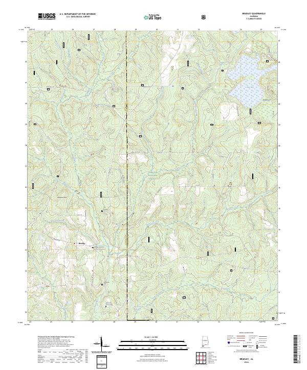
2024 Map of Bradley
USGS Topo · Published 2024About this map
Conecuh National Forest dominates this section of the southern Alabama panhandle along the border of Escambia and Covington Counties. The landscape is defined by the winding course of the Blackwater River and its tributaries, including Boggy Hollow Creek and Hurricane Creek. These waters move through a dense network of wetlands and namesake features like Bear Bay and Otter Pond, illustrating the complex drainage patterns of the coastal plain.
Find a feature on this map
51 named features on this map. Tap any name to fly to it.
Don’t see what you’re looking for? This feature index may not catch every label — zoom into the map to look around manually.
Map Details
Editions of this 2024 Bradley Map
This is the sole edition of this map. No revisions or reprints were ever made.
Other maps of this area

1948 · Munson
USGS Topo · 1:62,500

1949 · Crestview
USGS Topo · 1:62,500

1950 · Munson
USGS Topo · 1:62,500

1951 · Crestview
USGS Topo · 1:62,500

1953 · Andalusia
USGS Topo · 1:250,000

1957 · Andalusia
USGS Topo · 1:250,000

1957 · Pensacola
USGS Topo · 1:250,000

1959 · Pensacola
USGS Topo · 1:250,000

1960 · Pensacola
USGS Topo · 1:250,000

1971 · Dixie
USGS Topo · 1:24,000