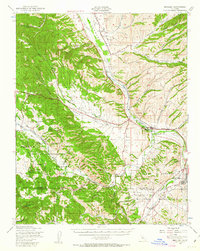
1948 Map of Bradley
USGS Topo · Published 1963About this map
The Salinas River valley serves as the central artery for this 1940s landscape, where the Southern Pacific railroad parallels the water to support local transit points like Getty Siding and Wanpost. To the west, the rugged drainage of Hames Creek and Swain Valley defines a transition into the coastal foothills, while the southern reaches are dominated by the extensive Hunter Liggett Military Reservation and Camp Roberts Military Reservation.
Find a feature on this map
38 named features on this map. Tap any name to fly to it.
Don’t see what you’re looking for? This feature index may not catch every label — zoom into the map to look around manually.
Map Details
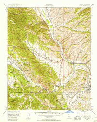
Editions of this 1948 Bradley Map
2 editions found
Other maps of this area

1912 · San Ardo
USGS Topo · 1:31,680

1915 · Priest Valley
USGS Topo · 1:125,000

1919 · San Miguel
USGS Topo · 1:62,500

1919 · King City
USGS Topo · 1:62,500

1919 · Bryson
USGS Topo · 1:62,500

1919 · Paso Robles
USGS Topo · 1:62,500

1919 · Bradley
USGS Topo · 1:62,500

1919 · Adelaida
USGS Topo · 1:62,500

1919 · San Simeon
USGS Topo · 1:62,500

1932 · Adelaida
USGS Topo · 1:62,500