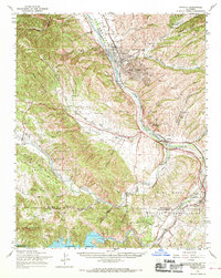
1961 Map of Bradley
USGS Topo · Published 1969About this map
Bradley serves as a central hub along the Southern Pacific railroad line, positioned where the Salinas River meets the northern reaches of the Camp Roberts Military Reservation. This 1961 field-checked survey reveals an era of significant infrastructure development, most notably the completed Nacimiento Reservoir and its Nacimiento Dam, alongside sections of U S Highway 101 marked as under construction.
Find a feature on this map
50 named features on this map. Tap any name to fly to it.
Don’t see what you’re looking for? This feature index may not catch every label — zoom into the map to look around manually.
Map Details
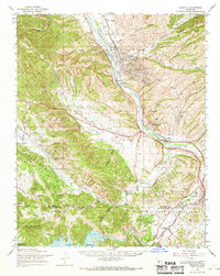
Editions of this 1961 Bradley Map
2 editions found
Other maps of this area

1912 · San Ardo
USGS Topo · 1:31,680

1915 · Priest Valley
USGS Topo · 1:125,000

1919 · San Miguel
USGS Topo · 1:62,500

1919 · King City
USGS Topo · 1:62,500

1919 · Bryson
USGS Topo · 1:62,500

1919 · Paso Robles
USGS Topo · 1:62,500

1919 · Bradley
USGS Topo · 1:62,500

1919 · Adelaida
USGS Topo · 1:62,500

1919 · San Simeon
USGS Topo · 1:62,500

1932 · Adelaida
USGS Topo · 1:62,500