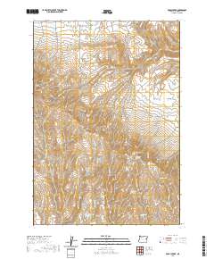
2020 Map of Brady Creek
USGS Topo · Published 2020About this map
Cottonwood Mountain and Juniper Mtn anchor this high-desert landscape in Malheur County, where water sources have long dictated human activity. The map reveals a dense network of seasonal drainages and springs essential for livestock and local survival, including Homestead Spring and Chokecherry Spring. These vital points, along with Upper Buckbrush Reservoir, illustrate the infrastructure required for ranching in such an arid environment. Transportation is limited to rugged tracks like Juniper Mtn Rd, reflecting the remote character of the terrain. The presence of features such as Thorn Flat and numerous named creeks like Brady Cr and Antelope Springs Cr suggests a landscape shaped by historical grazing and seasonal water management, offering a detailed perspective on the region's topographical and hydrological development.
Find a feature on this map
34 named features on this map. Tap any name to fly to it.
Don’t see what you’re looking for? This feature index may not catch every label — zoom into the map to look around manually.
Map Details
Editions of this 2020 Brady Creek Map
This is the sole edition of this map. No revisions or reprints were ever made.
Other maps of this area

1955 · Baker
USGS Topo · 1:250,000

1959 · Baker
USGS Topo · 1:250,000

1964 · Bridgeport
USGS Topo · 1:62,500

1964 · Brogan
USGS Topo · 1:62,500

1964 · Ironside
USGS Topo · 1:62,500

1966 · Clover Creek Ranch
USGS Topo · 1:62,500

1980 · Brogan
USGS Topo · 1:100,000
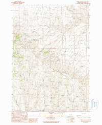
1990 · Brady Creek
USGS Topo · 1:24,000
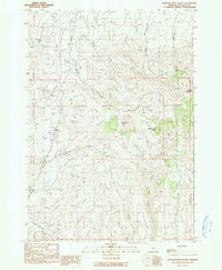
1990 · Scratch Post Butte
USGS Topo · 1:24,000
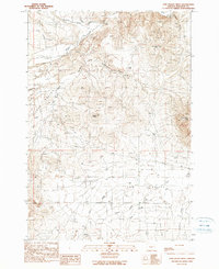
1990 · Cow Valley West
USGS Topo · 1:24,000