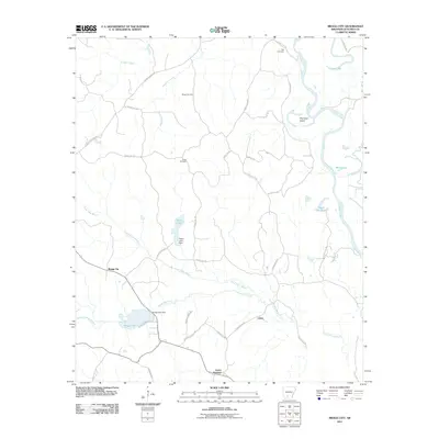
2011 Map of Bragg City
USGS Topo · Published 2011About this map
Bragg City and the nearby settlement of Lester sit amidst a complex network of waterways in central Arkansas, defined by the winding course of the Ouachita River. This landscape is marked by numerous family and community landmarks, including Bragg Cemetery, Green Cemetery, and Tate Cemetery, which offer valuable points of reference for genealogists. The area's hydrology is particularly intricate, featuring the Ecore Fabre Bayou and controlled waters such as Bragg Lake and Saxon Lake, both supported by their respective dams. Relics of the river's shifting path are visible in features like Old River Island and Upper Old Brake, while the rail and road connections at Lester Junction show the historical infrastructure that linked these rural communities to the wider Ouachita County region.
Find a feature on this map
40 named features on this map. Tap any name to fly to it.
Don’t see what you’re looking for? This feature index may not catch every label — zoom into the map to look around manually.
Map Details
Editions of this 2011 Bragg City Map
This is the sole edition of this map. No revisions or reprints were ever made.
Other maps of this area

1901 · Gurdon
USGS Topo · 1:125,000

1903 · Camden
USGS Topo · 1:125,000

1951 · Camden
USGS Topo · 1:24,000

1953 · El Dorado
USGS Topo · 1:250,000

1957 · El Dorado
USGS Topo · 1:250,000

1958 · El Dorado
USGS Topo · 1:250,000

1960 · El Dorado
USGS Topo · 1:250,000

1970 · Reader
USGS Topo · 1:24,000

1971 · Tates Bluff
USGS Topo · 1:24,000

1971 · Ouachita
USGS Topo · 1:24,000