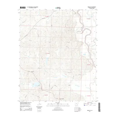
2014 Map of Bragg City
USGS Topo · Published 2014About this map
Ecore Fabre Bayou and its numerous tributaries, including Bragg Mill Cr and Poison Springs Br, dominate this 2014 survey of Ouachita County. The landscape is a network of small water bodies and oxbow-related features like Old River Island, Upper Old Brake, and Saxon Lake tucked within the meanders of the Ouachita River. Small settlements and intersections define the human footprint, notably Bragg City and Lester, which are linked by Ar 24 HWY.
Find a feature on this map
50 named features on this map. Tap any name to fly to it.
Don’t see what you’re looking for? This feature index may not catch every label — zoom into the map to look around manually.
Map Details
Editions of this 2014 Bragg City Map
This is the sole edition of this map. No revisions or reprints were ever made.
Other maps of this area

1901 · Gurdon
USGS Topo · 1:125,000

1903 · Camden
USGS Topo · 1:125,000

1951 · Camden
USGS Topo · 1:24,000

1953 · El Dorado
USGS Topo · 1:250,000

1957 · El Dorado
USGS Topo · 1:250,000

1958 · El Dorado
USGS Topo · 1:250,000

1960 · El Dorado
USGS Topo · 1:250,000

1970 · Reader
USGS Topo · 1:24,000

1971 · Tates Bluff
USGS Topo · 1:24,000

1971 · Ouachita
USGS Topo · 1:24,000