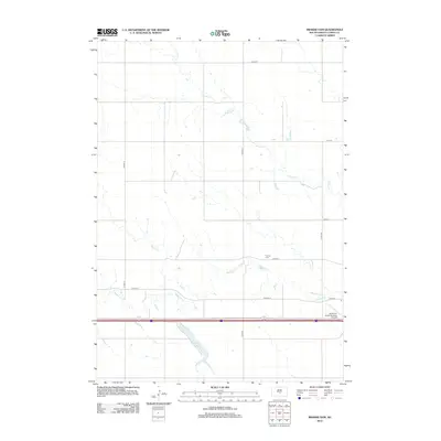
2012 Map of Brakke Dam
USGS Topo · Published 2012About this map
Medicine Cr and Grouse Cr wind through this Lyman County landscape, defining the hydrology of a predominantly agricultural region. The central topographic feature, Brakke Dam, anchors the southern portion of the sheet, creating a significant water catchment area in an otherwise arid expanse of prairie. This 2012 survey illustrates the modern rural infrastructure of South Dakota, where the section-line grid of local roads like 235th St and 314th Ave dictates the movement of people and commerce.
Find a feature on this map
15 named features on this map. Tap any name to fly to it.
Don’t see what you’re looking for? This feature index may not catch every label — zoom into the map to look around manually.
Map Details
Editions of this 2012 Brakke Dam Map
This is the sole edition of this map. No revisions or reprints were ever made.
Other maps of this area

1953 · Huron
USGS Topo · 1:250,000

1954 · Pierre
USGS Topo · 1:250,000

1954 · Huron
USGS Topo · 1:250,000

1955 · Martin
USGS Topo · 1:250,000

1955 · Mitchell
USGS Topo · 1:250,000

1958 · Pierre
USGS Topo · 1:250,000

1958 · Martin
USGS Topo · 1:250,000

1959 · Mitchell
USGS Topo · 1:250,000

1966 · Ft. George Butte SE
USGS Topo · 1:24,000

1966 · Joe Creek SE
USGS Topo · 1:24,000