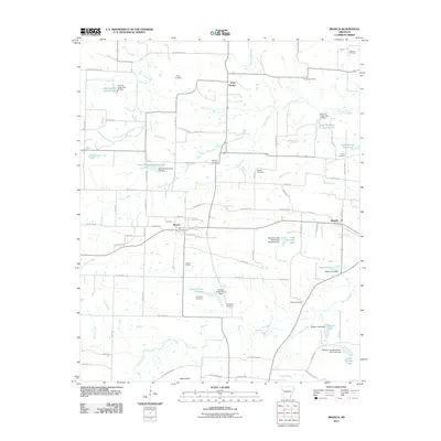
2011 Map of Branch
USGS Topo · Published 2011About this map
Branch and Ratcliff anchor the central landscape of this western Arkansas survey, where the regional economy is defined by a dense network of water management sites. Numerous numbered reservoirs, including Lake Number Thirteen and Lake Number Eight, illustrate a sophisticated watershed infrastructure managed by structures like the Six Mile Creek Watershed Site Eight Dam. This systematic development of the Sixmile Creek drainage basin reflects the rural transition toward modern agricultural and flood-control practices in Franklin County.
Find a feature on this map
86 named features on this map. Tap any name to fly to it.
Don’t see what you’re looking for? This feature index may not catch every label — zoom into the map to look around manually.
Map Details
Editions of this 2011 Branch Map
This is the sole edition of this map. No revisions or reprints were ever made.
Other maps of this area

1887 · Magazine Mountain #2
USGS Topo · 1:62,500

1887 · Magazine Mountain #3
USGS Topo · 1:62,500

1887 · Magazine Mountain
USGS Topo · 1:62,500

1890 · Magazine Mountain
USGS Topo · 1:125,000

1890 · Fort Smith
USGS Topo · 1:125,000

1906 · Lavaca
USGS Topo · 1:62,500

1906 · Barber
USGS Topo · 1:62,500

1934 · Booneville
USGS Topo · 1:48,000

1939 · Booneville
USGS Topo · 1:62,500

1943 · Fort Smith
USGS Topo · 1:125,000