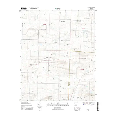
2014 Map of Branch
USGS Topo · Published 2014About this map
Branch and Ratcliff anchor the central corridor of this survey, which captures the transition from the Arkansas River valley uplands into the hills of the Franklin and Logan county line. The landscape is defined by its drainages, where Hurricane Creek and Sixmile Creek carve through the terrain, supporting a network of small agricultural settlements and family landmarks. This 2014 edition reflects the deep roots of the region, evidenced by the numerous cemeteries scattered across the townships, such as King Cemetery, Moffett Cemetery, and Hunter Cemetery. To the south, the topography rises toward Metcalf Hill and Bee Mountain, while the north is marked by the community of Peter Pender. The presence of the Military Road West near Ratcliff provides a window into the historic transportation corridors that once shaped the growth of these Arkansas crossroads.
Find a feature on this map
110 named features on this map. Tap any name to fly to it.
Don’t see what you’re looking for? This feature index may not catch every label — zoom into the map to look around manually.
Map Details
Editions of this 2014 Branch Map
This is the sole edition of this map. No revisions or reprints were ever made.
Other maps of this area

1887 · Magazine Mountain #2
USGS Topo · 1:62,500

1887 · Magazine Mountain #3
USGS Topo · 1:62,500

1887 · Magazine Mountain
USGS Topo · 1:62,500

1890 · Magazine Mountain
USGS Topo · 1:125,000

1890 · Fort Smith
USGS Topo · 1:125,000

1906 · Lavaca
USGS Topo · 1:62,500

1906 · Barber
USGS Topo · 1:62,500

1934 · Booneville
USGS Topo · 1:48,000

1939 · Booneville
USGS Topo · 1:62,500

1943 · Fort Smith
USGS Topo · 1:125,000