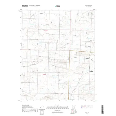
2020 Map of Branch
USGS Topo · Published 2020About this map
The town of Branch serves as a central hub in this western Arkansas landscape, situated where the terrain begins to rise toward Metcalf Hill and Bee Mtn. This 2020 survey documents a dense network of family and community landmarks, particularly evident in the high concentration of small burial grounds like Hunter Cem, Boydston Cem, and Henderson Cem. These sites, often located near local watercourses like Pony Cr and Sixmile Cr, offer significant value for genealogists tracing established family lines in the region. The map also illustrates the close proximity of neighboring settlements such as Ratcliff, Caulksville, and the northern community of Peter Pender. The area is defined by numerous named reservoirs, including Lake Number Thirteen and Lake Number Eight, reflecting a modified hydrological system used for local land management. The intersection of state routes and county roads like Co RD 8 and State HWY 215 provides a clear view of the modern transportation framework connecting these historic rural townships.
Find a feature on this map
105 named features on this map. Tap any name to fly to it.
Don’t see what you’re looking for? This feature index may not catch every label — zoom into the map to look around manually.
Map Details
Editions of this 2020 Branch Map
This is the sole edition of this map. No revisions or reprints were ever made.
Other maps of this area

1887 · Magazine Mountain #2
USGS Topo · 1:62,500

1887 · Magazine Mountain #3
USGS Topo · 1:62,500

1887 · Magazine Mountain
USGS Topo · 1:62,500

1890 · Magazine Mountain
USGS Topo · 1:125,000

1890 · Fort Smith
USGS Topo · 1:125,000

1906 · Lavaca
USGS Topo · 1:62,500

1906 · Barber
USGS Topo · 1:62,500

1934 · Booneville
USGS Topo · 1:48,000

1939 · Booneville
USGS Topo · 1:62,500

1943 · Fort Smith
USGS Topo · 1:125,000