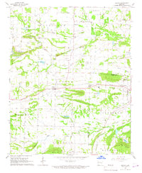
1966 Map of Branch
USGS Topo · Published 1967About this map
The Missouri Pacific railroad corridor anchors the landscape of southern Franklin County in the mid-1960s, linking the communities of Branch and Ratcliff. This area is defined by a diverse economic base where traditional agriculture meets active energy extraction. Extensive Strip Mines and numerous Gas Wells are concentrated in the northern portion of the sheet near Peter Pender, illustrating the region's industrial footprint during this era. Educational and spiritual life are represented by landmarks such as County Line High Sch and St Anthonys Ch.
Find a feature on this map
50 named features on this map. Tap any name to fly to it.
Don’t see what you’re looking for? This feature index may not catch every label — zoom into the map to look around manually.
Map Details
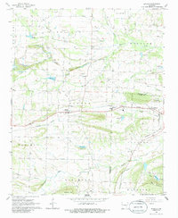
Editions of this 1966 Branch Map
2 editions found
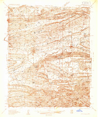
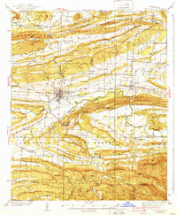
Other maps of this area

1887 · Magazine Mountain #2
USGS Topo · 1:62,500

1887 · Magazine Mountain #3
USGS Topo · 1:62,500

1887 · Magazine Mountain
USGS Topo · 1:62,500

1890 · Magazine Mountain
USGS Topo · 1:125,000

1890 · Fort Smith
USGS Topo · 1:125,000

1906 · Lavaca
USGS Topo · 1:62,500

1906 · Barber
USGS Topo · 1:62,500
1934 · Booneville
USGS Topo · 1:48,000
1939 · Booneville
USGS Topo · 1:62,500

1943 · Fort Smith
USGS Topo · 1:125,000