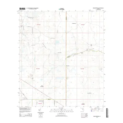
2015 Map of Branchborough
USGS Topo · Published 2015About this map
The Withlacoochee River and Hillsborough River headwaters converge in this corner of Central Florida, where the borders of Pasco, Sumter, and Polk counties meet. The landscape is defined by extensive wetlands and seasonal water bodies such as Sixteen Section Pond, Blue Lake, and Bonnet Lake, punctuated by the elevation of Thrasher Ridges. Small, isolated settlements like Branchborough, Cumpressco, and the aptly named Port Lonesome dot the terrain, connected by a network of rural roads and logging grades. Significant for outdoorsmen and historians alike, the Florida National Scenic Trail winds through the northern sections, crossing the river at locations like Trial Ford Bridge and Cow Ford Bridge. The map also preserves the location of the Withlacoochee Cem, providing a crucial reference point for genealogical research in this sparsely populated region of the Green Swamp.
Find a feature on this map
44 named features on this map. Tap any name to fly to it.
Don’t see what you’re looking for? This feature index may not catch every label — zoom into the map to look around manually.
Map Details
Editions of this 2015 Branchborough Map
This is the sole edition of this map. No revisions or reprints were ever made.
Other maps of this area

1944 · Providence
USGS Topo · 1:31,680

1944 · Socrum
USGS Topo · 1:31,680

1947 · Zephyrhills
USGS Topo · 1:24,000

1955 · Plant City
USGS Topo · 1:250,000

1955 · Orlando
USGS Topo · 1:250,000

1957 · Orlando
USGS Topo · 1:250,000

1958 · Orlando
USGS Topo · 1:250,000

1958 · Plant City
USGS Topo · 1:250,000

1959 · Plant City
USGS Topo · 1:250,000

1960 · Lacoochee
USGS Topo · 1:24,000