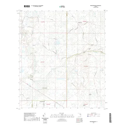
2021 Map of Branchborough
USGS Topo · Published 2021About this map
Withlacoochee River and the Hillsborough River dominate this Central Florida landscape, marking the convergence of Pasco, Sumter, and Polk counties. The area is characterized by an extensive wetland network, including the Devils Creek Swamp and Withlacoochee River Swamp, where early crossings like Cow Ford Bridge and Trial Ford Bridge provided essential passage through the hydrologic basin. Small settlements and local landmarks such as Branchborough, Port Lonesome, and Cumpressco reflect a quiet interior history, supported by the presence of the Withlacoochee Cem and specialized sites like Stanley Fish Hole. Modern recreational corridors now trace these old routes, with the Florida National Scenic Trl and Colt Creek State Park Trl weaving through hammocks and ridges, providing a structured way to navigate the same terrain that once defined the early frontiers of these three counties.
Find a feature on this map
44 named features on this map. Tap any name to fly to it.
Don’t see what you’re looking for? This feature index may not catch every label — zoom into the map to look around manually.
Map Details
Editions of this 2021 Branchborough Map
This is the sole edition of this map. No revisions or reprints were ever made.
Other maps of this area

1944 · Providence
USGS Topo · 1:31,680

1944 · Socrum
USGS Topo · 1:31,680

1947 · Zephyrhills
USGS Topo · 1:24,000

1955 · Plant City
USGS Topo · 1:250,000

1955 · Orlando
USGS Topo · 1:250,000

1957 · Orlando
USGS Topo · 1:250,000

1958 · Orlando
USGS Topo · 1:250,000

1958 · Plant City
USGS Topo · 1:250,000

1959 · Plant City
USGS Topo · 1:250,000

1960 · Lacoochee
USGS Topo · 1:24,000