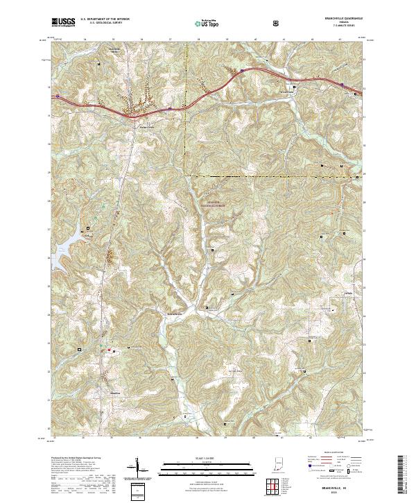
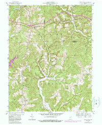
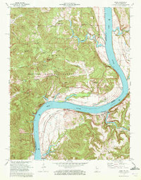
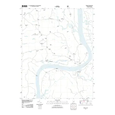
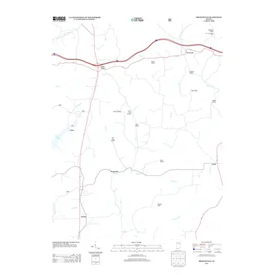
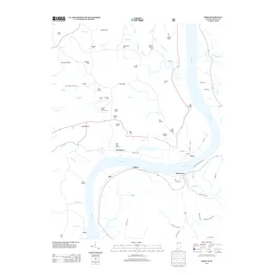
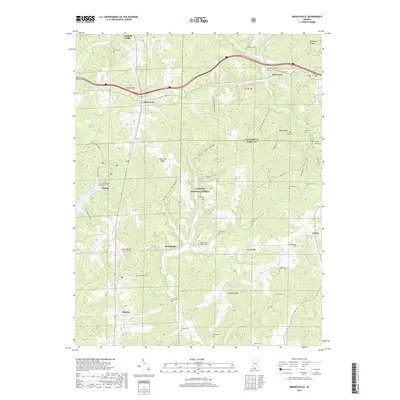
2022 Map of Branchville
USGS Topo · Published 2022About this map
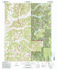
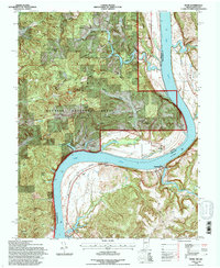
Hoosier National Forest covers much of this Southern Indiana landscape, where the deeply dissected terrain of Fairview Ridge and German Ridge dictates the local geography. Small settlements such as Branchville and Doolittle Mills are connected by a network of winding roads, including sections of Old State Hwy 37, that navigate around complex hollows like Rich Cave Hollow and Peter Cave Hollow. The area is notably dense with small family and community burial grounds, such as Rickenbaugh Cem near Lake Celina and the Branchville Walker Cem, reflecting a long history of rural settlement. Waterways like Oil Creek and the Middle Fork Anderson River drain the hollows, while recreational paths like the Two Lakes Trail suggest the modern character of this forested region.
Find a feature on this map
64 named features on this map. Tap any name to fly to it.
Don’t see what you’re looking for? This feature index may not catch every label — zoom into the map to look around manually.
Map Details
Editions of this 2022 Branchville Map
This is the sole edition of this map. No revisions or reprints were ever made.
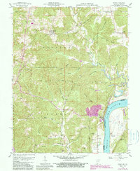
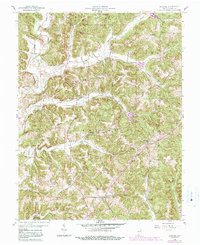
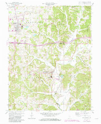
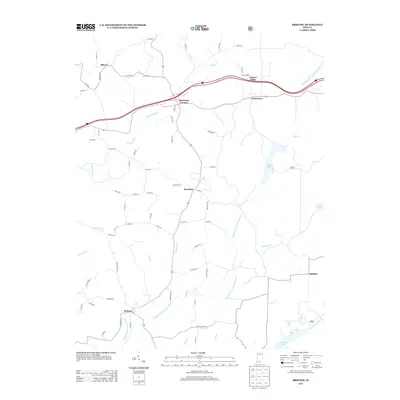
Historical Maps of Saint Croix Through Time
43 maps found
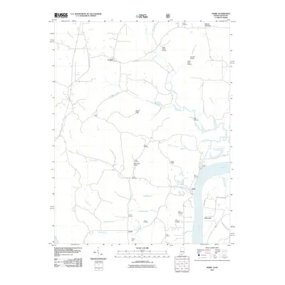
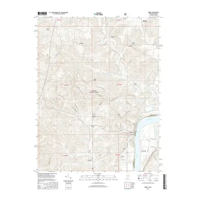
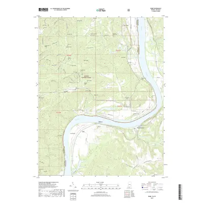
1953 Rome
Perry County, IN
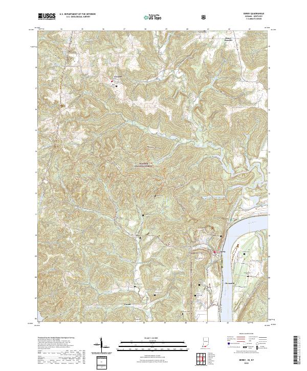
1954 Derby
Perry County, IN
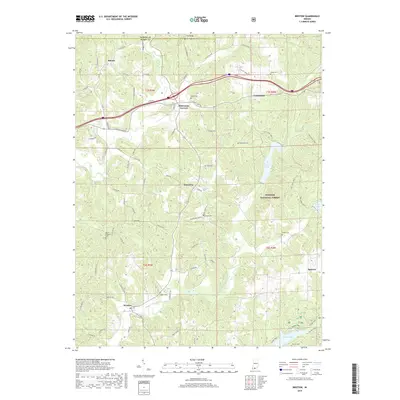
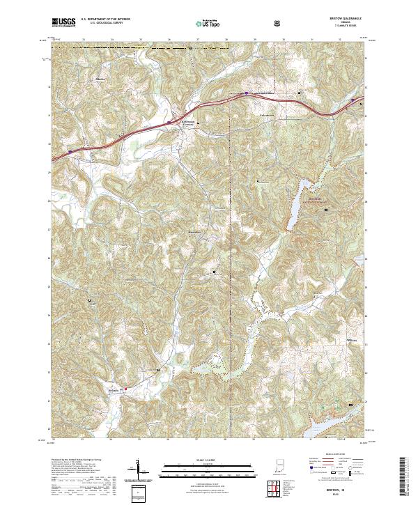
1957 Bristow
Perry County, IN
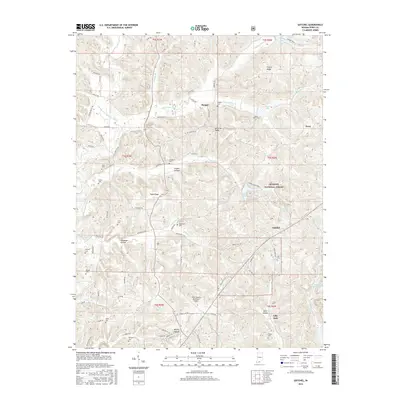
1958 Branchville
Perry County, IN
1958 Derby
Perry County, IN
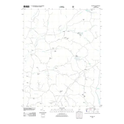
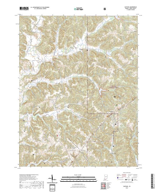
1958 Gatchel
Perry County, IN
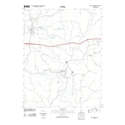
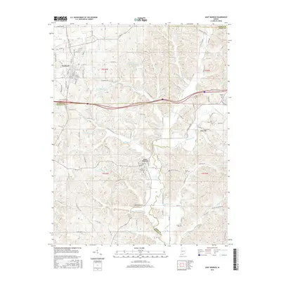
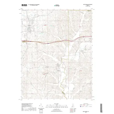
1960 Saint Meinrad
Perry County, IN
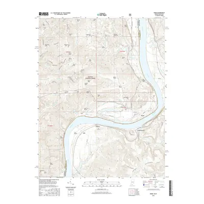
1970 Rome
Perry County, IN
1993 Branchville
Perry County, IN
1993 Bristow
Perry County, IN
1993 Derby
Perry County, IN
1993 Gatchel
Perry County, IN
1993 Rome
Perry County, IN
2010 Branchville
Perry County, IN
2010 Bristow
Perry County, IN
2010 Derby
Perry County, IN
2010 Gatchel
Perry County, IN
2010 Saint Meinrad
Perry County, IN
2011 Rome
Perry County, IN
2013 Branchville
Perry County, IN
2013 Bristow
Perry County, IN
2013 Derby
Perry County, IN
2013 Gatchel
Perry County, IN
2013 Rome
Perry County, IN
2013 Saint Meinrad
Perry County, IN
2016 Branchville
Perry County, IN
2016 Bristow
Perry County, IN
2016 Derby
Perry County, IN
2016 Gatchel
Perry County, IN
2016 Rome
Perry County, IN
2016 Saint Meinrad
Perry County, IN
2019 Branchville
Perry County, IN
2019 Bristow
Perry County, IN
2019 Derby
Perry County, IN
2019 Gatchel
Perry County, IN
2019 Rome
Perry County, IN
2019 Saint Meinrad
Perry County, IN
2022 Branchville
Perry County, IN
2022 Bristow
Perry County, IN
2022 Derby
Perry County, IN
2022 Gatchel
Perry County, IN
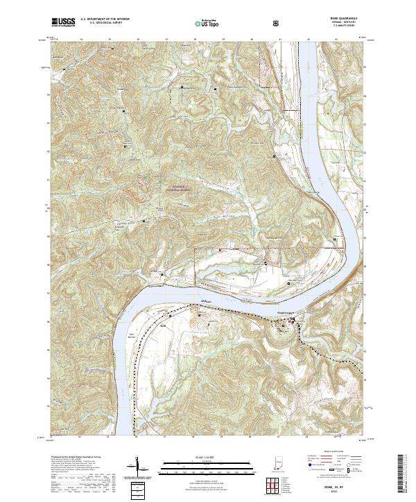
2022 Rome
Perry County, IN
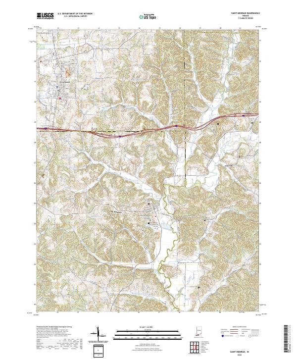
2022 Saint Meinrad
Perry County, IN