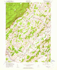
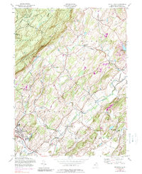
1954 Map of Branchville
USGS Topo · Published 1962About this map
Kittatinny Mountain dominates the northwestern landscape of this Sussex County study, where the Appalachian Trail winds through High Point State Park and Stokes State Forest. The mid-1950s cultural data reveals a transition from these wooded uplands to the agricultural and rail-connected lowlands. The Lehigh and New England and Lehigh and Hudson River railroads cross the southern sections, serving established communities like Branchville and Lafayette.
Find a feature on this map
46 named features on this map. Tap any name to fly to it.
Don’t see what you’re looking for? This feature index may not catch every label — zoom into the map to look around manually.
Map Details
Editions of this 1954 Branchville Map
6 editions found
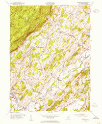

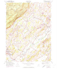
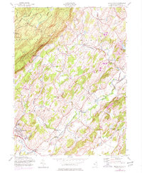
Other maps of this area

1888 · Franklin
USGS Topo · 1:62,500

1891 · Wallpack
USGS Topo · 1:62,500

1893 · Wallpack
USGS Topo · 1:62,500

1894 · Franklin
USGS Topo · 1:62,500

1897 · Franklin
USGS Topo · 1:62,500

1903 · Franklin Furnace
USGS Topo · 1:62,500

1906 · Port Jervis
USGS Topo · 1:62,500

1908 · Port Jervis
USGS Topo · 1:62,500

1913 · Milford
USGS Topo · 1:62,500

1915 · Milford
USGS Topo · 1:62,500