
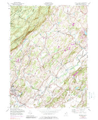
1954 Map of Branchville
USGS Topo · Published 1965About this map
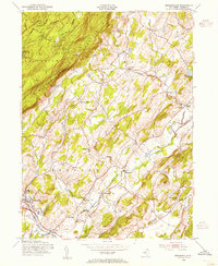
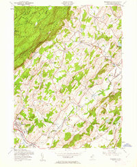
Kittatinny Mountain dominates the western landscape of this mid-century Sussex County survey, its ridgeline followed by the iconic Appalachian Trail through Stokes State Forest and High Point State Park. The terrain transitions from these high elevations down toward the valley settlements of Branchville and Augusta, where the Delaware Lackawanna and Western RR and the Lehigh and New England railroads provide critical transport links. Small rural hubs such as Beemerville, Wykertown, and Frankford Plains punctuate the agricultural landscape, which also hosts specialized sites like the U S Soil Conservation Experimental Farm. Local history is preserved in the locations of the Frankford Plains Ch and Branchville Cem, reflecting the area's established social and civic fabric during a time when the Sussex Airport and State School of Conservation also appear.
Find a feature on this map
46 named features on this map. Tap any name to fly to it.
Don’t see what you’re looking for? This feature index may not catch every label — zoom into the map to look around manually.
Map Details
Editions of this 1954 Branchville Map
6 editions found
Other maps of this area

1888 · Franklin
USGS Topo · 1:62,500

1891 · Wallpack
USGS Topo · 1:62,500

1893 · Wallpack
USGS Topo · 1:62,500

1894 · Franklin
USGS Topo · 1:62,500

1897 · Franklin
USGS Topo · 1:62,500

1903 · Franklin Furnace
USGS Topo · 1:62,500

1906 · Port Jervis
USGS Topo · 1:62,500

1908 · Port Jervis
USGS Topo · 1:62,500

1913 · Milford
USGS Topo · 1:62,500

1915 · Milford
USGS Topo · 1:62,500