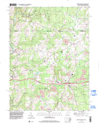
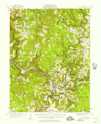
1997 Map of Brandonville
USGS Topo · Published 2002About this map
Brandonville and Hazelton serve as the primary hubs of this landscape straddling the West Virginia and Pennsylvania border in the late 1990s. The region is defined by a transition from the protected woodlands of Forbes State Forest in the north to an active industrial corridor below. Numerous notations for Former Mine and Strip Mine sites populate the terrain, particularly around the southern drainages of Sandy Creek and Little Sandy Cr. Local community life is anchored by traditional landmarks like Shady Grove Ch, Locust Grove Ch, and the Salem Sch. The geography is etched by a series of north-south ridges and runs, including Glade Run and Cherry Run, which break the high ground near Kelley Knob. This survey captures the rural character of Preston County just as modern infrastructure, indicated by Interchange 29, integrated the area into the larger regional network.
Find a feature on this map
40 named features on this map. Tap any name to fly to it.
Don’t see what you’re looking for? This feature index may not catch every label — zoom into the map to look around manually.
Map Details
Editions of this 1997 Brandonville Map
This is the sole edition of this map. No revisions or reprints were ever made.
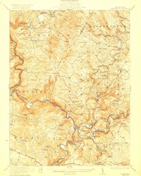
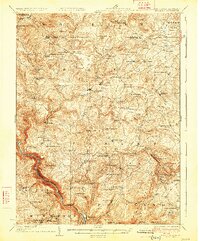
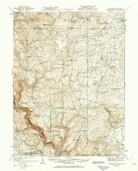
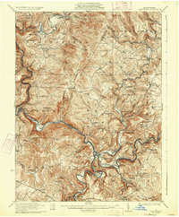
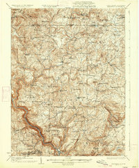
Other maps of this area

1900 · Accident
USGS Topo · 1:62,500

1900 · Uniontown
USGS Topo · 1:62,500

1904 · Bruceton
USGS Topo · 1:62,500
1922 · Confluence
USGS Topo · 1:62,500
1926 · Bruceton
USGS Topo · 1:62,500
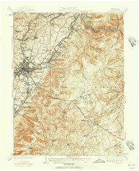
1931 · Uniontown
USGS Topo · 1:62,500
1931 · Confluence
USGS Topo · 1:62,500
1931 · Bruceton Mills
USGS Topo · 1:62,500
1933 · Confluence
USGS Topo · 1:62,500
1933 · Bruceton
USGS Topo · 1:62,500