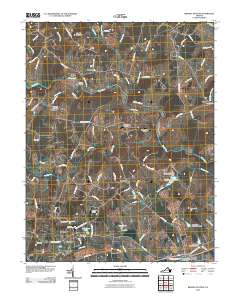
2010 Map of Brandy Station
USGS Topo · Published 2010About this map
Brandy Station and the surrounding Culpeper County countryside are defined by a complex network of waterways and historic crossings. The Hazel River and Rappahannock River converge in the east, where Freemans Ford marks a traditional river crossing point near the settlement of Lakota. The landscape is characterized by a mix of agricultural tracts and small community hubs like Rixeyville, which retains its own Post Office and connection to the north via Kerrick Bridge over Waterford Run.
Find a feature on this map
95 named features on this map. Tap any name to fly to it.
Don’t see what you’re looking for? This feature index may not catch every label — zoom into the map to look around manually.
Map Details
Editions of this 2010 Brandy Station Map
This is the sole edition of this map. No revisions or reprints were ever made.
Other maps of this area

1887 · Spottsylvania
USGS Topo · 1:125,000

1892 · Spottsylvania
USGS Topo · 1:125,000

1892 · Gordonsville
USGS Topo · 1:125,000

1893 · Luray
USGS Topo · 1:125,000

1894 · Warrenton
USGS Topo · 1:125,000

1894 · Warrenton
USGS Topo · 1:62,500

1905 · Luray
USGS Topo · 1:125,000

1927 · Remington
USGS Topo · 1:48,000

1930 · Warrenton
USGS Topo · 1:62,500

1943 · Germanna Bridge
USGS Topo · 1:24,000