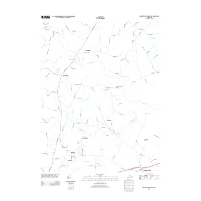
2013 Map of Brandy Station
USGS Topo · Published 2013About this map
Brandy Station serves as the focal point for this section of Culpeper County, anchored by its proximity to Fleetwood Hill and the historical crossings of the Hazel River. The landscape is defined by its transition from high ground at Sheads Mountain in the northwest toward the fertile drainage basins of Muddy Run and Ruffans Run. This area preserves a network of small, established communities like Oakshade, Rixeyville, and Alanthus, which are interconnected by historic routes such as Rikeyville Rd. Aviation interests are represented by local facilities including Pleasantdale Field Airport and Berryvale Airport. The map documents the persistent rural character of the region, where numerous named water bodies like Waterford Run and Indian Run cut through a territory rich with family-named roads and landmarks, reflecting generations of continuous settlement in northern Virginia.
Find a feature on this map
111 named features on this map. Tap any name to fly to it.
Don’t see what you’re looking for? This feature index may not catch every label — zoom into the map to look around manually.
Map Details
Editions of this 2013 Brandy Station Map
This is the sole edition of this map. No revisions or reprints were ever made.
Other maps of this area

1887 · Spottsylvania
USGS Topo · 1:125,000

1892 · Spottsylvania
USGS Topo · 1:125,000

1892 · Gordonsville
USGS Topo · 1:125,000

1893 · Luray
USGS Topo · 1:125,000

1894 · Warrenton
USGS Topo · 1:125,000

1894 · Warrenton
USGS Topo · 1:62,500

1905 · Luray
USGS Topo · 1:125,000

1927 · Remington
USGS Topo · 1:48,000

1930 · Warrenton
USGS Topo · 1:62,500

1943 · Germanna Bridge
USGS Topo · 1:24,000