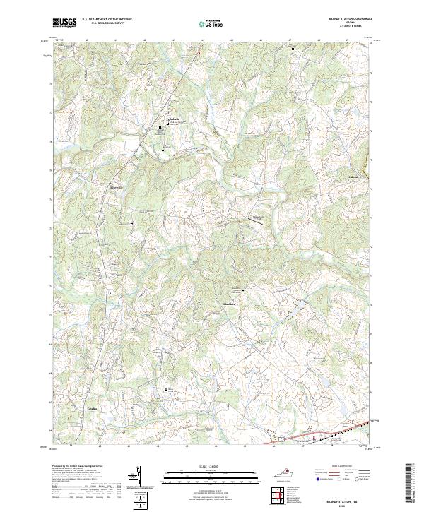
2022 Map of Brandy Station
USGS Topo · Published 2022About this map
The Hazel River carves a winding path through this portion of the Culpeper Basin, where modern rural life meets deep-rooted history. The landscape is defined by its numerous small burial sites and family plots, such as the Little Fork Episcopal Church Burying Grounds and the McDonald - Dulin - Hackley Cem, which anchor the small communities of Oakshade and Rixeyville. These small cemeteries reflect generations of family landholdings across the Culpeper countryside.
Find a feature on this map
144 named features on this map. Tap any name to fly to it.
Don’t see what you’re looking for? This feature index may not catch every label — zoom into the map to look around manually.
Map Details
Editions of this 2022 Brandy Station Map
This is the sole edition of this map. No revisions or reprints were ever made.
Other maps of this area

1887 · Spottsylvania
USGS Topo · 1:125,000

1892 · Spottsylvania
USGS Topo · 1:125,000

1892 · Gordonsville
USGS Topo · 1:125,000

1893 · Luray
USGS Topo · 1:125,000

1894 · Warrenton
USGS Topo · 1:125,000

1894 · Warrenton
USGS Topo · 1:62,500

1905 · Luray
USGS Topo · 1:125,000

1927 · Remington
USGS Topo · 1:48,000

1930 · Warrenton
USGS Topo · 1:62,500

1943 · Germanna Bridge
USGS Topo · 1:24,000