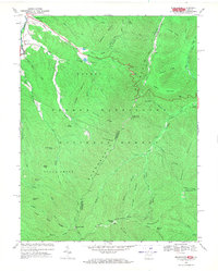
1969 Map of Brandywine
USGS Topo · Published 1970About this map
Brandywine and its surrounding mountain terrain are documented here at the end of the 1960s, showing the intersection of local community life and federal land management. Near the South Fork Potomac River, local landmarks include Cedar Grove Ch, Martin Luther Ch, and a Cem at Pine Hill. The map highlights the development of the Brandywine Recreation Area and Brandywine Lake, which are supported by water control structures like Dam No 27 and Dam No 13 on Hawes Run.
Find a feature on this map
70 named features on this map. Tap any name to fly to it.
Don’t see what you’re looking for? This feature index may not catch every label — zoom into the map to look around manually.
Map Details
Editions of this 1969 Brandywine Map
2 editions found
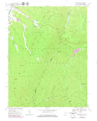
Other maps of this area

1892 · Franklin
USGS Topo · 1:125,000

1894 · Staunton
USGS Topo · 1:125,000

1896 · Franklin
USGS Topo · 1:125,000

1922 · Fort Seybert
USGS Topo · 1:48,000

1922 · Circleville
USGS Topo · 1:62,500

1924 · Circleville
USGS Topo · 1:48,000

1924 · Mc Dowell
USGS Topo · 1:62,500

1924 · Fort Seybert
USGS Topo · 1:62,500

1944 · Parnassus
USGS Topo · 1:62,500

1944 · Mc Dowell
USGS Topo · 1:62,500