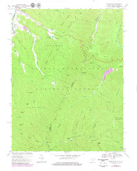
1969 Map of Brandywine
USGS Topo · Published 1979About this map
Brandywine and the winding South Fork Potomac River valley anchor this terrain at the border of West Virginia and Virginia. The 1969 field-checked survey reveals a landscape where valley floor settlements like Brandywine give way to the rising peaks of the George Washington National Forest. Notable landmarks of local importance include the Martin Luther Ch and Cedar Grove Ch, alongside the Pine Hill Cem located just north of the village.
Find a feature on this map
56 named features on this map. Tap any name to fly to it.
Don’t see what you’re looking for? This feature index may not catch every label — zoom into the map to look around manually.
Map Details
Editions of this 1969 Brandywine Map
2 editions found
Other maps of this area

1892 · Franklin
USGS Topo · 1:125,000

1894 · Staunton
USGS Topo · 1:125,000

1896 · Franklin
USGS Topo · 1:125,000

1922 · Fort Seybert
USGS Topo · 1:48,000

1922 · Circleville
USGS Topo · 1:62,500

1924 · Circleville
USGS Topo · 1:48,000

1924 · Mc Dowell
USGS Topo · 1:62,500

1924 · Fort Seybert
USGS Topo · 1:62,500

1944 · Parnassus
USGS Topo · 1:62,500

1944 · Mc Dowell
USGS Topo · 1:62,500