2024 Map of Branford
USGS Topo · Published 2024About this map
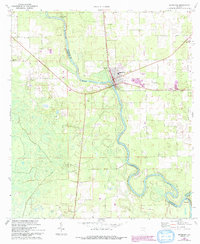
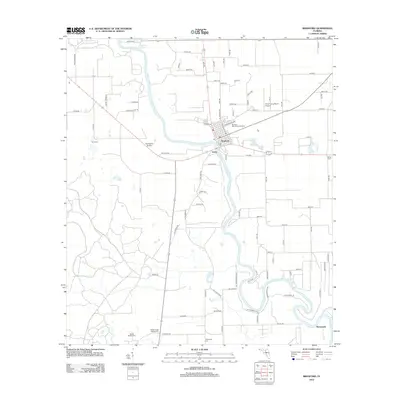
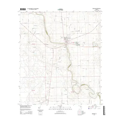
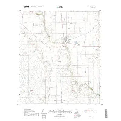
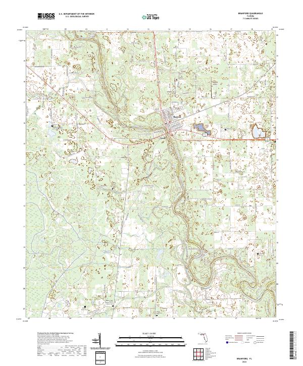
Branford serves as the focal point for this north Florida riverine landscape, where the Suwannee River carves a winding path through the borderlands of Suwannee, Lafayette, and Gilchrist counties. The area is defined by its small settlements and family burial grounds, reflecting a long-standing rural community structure. While the town center of Branford is the primary hub, smaller points like Grady and White Field are connected by a web of local routes including S State Rte 349 and Old River Rd.
Find a feature on this map
104 named features on this map. Tap any name to fly to it.
Don’t see what you’re looking for? This feature index may not catch every label — zoom into the map to look around manually.
Map Details
Editions of this 2024 Branford Map
This is the sole edition of this map. No revisions or reprints were ever made.
Historical Maps of Branford Through Time
6 maps found