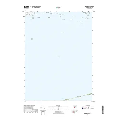
2018 Map of Branford OE S
USGS Topo · Published 2018About this map
Long Island Sound dominates this maritime survey, illustrating the complex underwater topography and small islands along the northern shore of the sound. The coastline is marked by small residential pockets such as Momauguin Beach and Sunset Beach, accessed by local routes like Coe Ave and Cosey Beach Ave. The map provides a detailed view of coastal navigation hazards and landmarks, from the expansive Branford Reef to isolated outcrops like Moon Rock and Negro Heads.
Find a feature on this map
41 named features on this map. Tap any name to fly to it.
Don’t see what you’re looking for? This feature index may not catch every label — zoom into the map to look around manually.
Map Details
Editions of this 2018 Branford OE S Map
This is the sole edition of this map. No revisions or reprints were ever made.
Other maps of this area

1892 · New Haven
USGS Topo · 1:62,500

1893 · Guilford
USGS Topo · 1:62,500

1921 · New Haven
USGS Topo · 1:62,500

1943 · New Haven
USGS Topo · 1:31,680

1947 · Hartford
USGS Topo · 1:250,000

1948 · Hartford
USGS Topo · 1:250,000
1951 · Woodmont
USGS Topo · 1:31,680

1954 · Guilford
USGS Topo · 1:31,680
1954 · New Haven
USGS Topo · 1:31,680
1954 · Branford
USGS Topo · 1:31,680
Featured Places
- Riverhead, NY
- Branford, CT
- East Haven, CT
- Suffolk County, NY
- South Central Connecticut Planning Region, CT