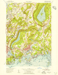
1954 Map of Branford
USGS Topo · Published 1956About this map
Lake Saltonstall and the dramatic ridgeline of Totoket Mountain anchor this mid-century view of the Connecticut coastline. The landscape is defined by its transition from the rocky industrial margins of New Haven to the dense network of shorefront communities like Stony Creek and Indian Neck. This era shows a region in the midst of suburban expansion, with the New York New Haven and Hartford RR and the Boston Post Road serving as the primary arteries for commerce and travel. Interior waters such as Lake Gaillard and the Branford Supply Ponds signify the critical importance of regional water management for the growing population center. Genealogists will find notable local landmarks including the William E Gillis Sch, St Marys Ch, and several well-established burial grounds like Tabor Cem and the Damascus Cem.
Find a feature on this map
73 named features on this map. Tap any name to fly to it.
Don’t see what you’re looking for? This feature index may not catch every label — zoom into the map to look around manually.
Map Details
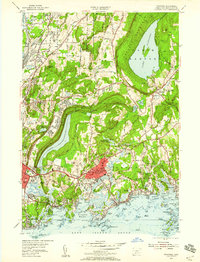
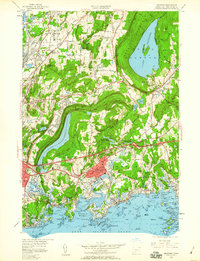
Editions of this 1954 Branford Map
3 editions found
Other maps of this area

1892 · New Haven
USGS Topo · 1:62,500

1893 · Guilford
USGS Topo · 1:62,500

1921 · New Haven
USGS Topo · 1:62,500

1943 · Durham
USGS Topo · 1:25,000

1943 · New Haven
USGS Topo · 1:31,680

1947 · Hartford
USGS Topo · 1:250,000

1948 · Hartford
USGS Topo · 1:250,000
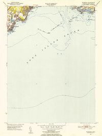
1951 · Woodmont
USGS Topo · 1:31,680

1953 · Durham
USGS Topo · 1:31,680

1954 · Guilford
USGS Topo · 1:31,680