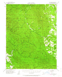
1951 Map of Branscomb
USGS Topo · Published 1963About this map
Branscomb serves as the central hub of this mid-century Mendocino County survey, situated along the upper reaches of the South Fork Eel River. The landscape is defined by its complex drainage systems, where the headwaters of the Tenmile River and its various forks meet a series of prominent high points like Signal Peak and Cahto Pk. A clear pattern of mid-20th-century land use is visible, from the recreational facilities at Wilderness Lodge and Admiral Standley State Park to the agricultural presence at O'Conner Orchard. Transportation in this era relied on a mix of early aviation at the local Landing Strip, the California Western RR cutting through the southern terrain, and established routes like the Dutch Charlie Trail. The presence of several family-named landmarks, such as Dutchmans Knoll and Campbell, reflects the area's history of homesteading and timber-related settlement.
Find a feature on this map
103 named features on this map. Tap any name to fly to it.
Don’t see what you’re looking for? This feature index may not catch every label — zoom into the map to look around manually.
Map Details
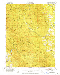
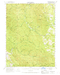
Editions of this 1951 Branscomb Map
4 editions found

Other maps of this area

1920 · Glenblair
USGS Topo · 1:62,500

1920 · Cummings
USGS Topo · 1:62,500

1920 · Covelo
USGS Topo · 1:62,500

1920 · Fort Bragg
USGS Topo · 1:62,500

1921 · Westport
USGS Topo · 1:62,500

1921 · Branscomb
USGS Topo · 1:62,500

1922 · Willits
USGS Topo · 1:62,500

1942 · Willits
USGS Topo · 1:62,500

1943 · Glenblair
USGS Topo · 1:62,500

1943 · Fort Bragg
USGS Topo · 1:62,500