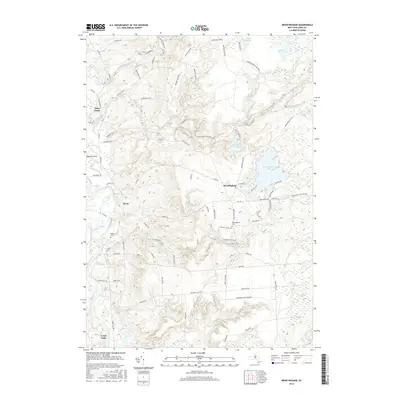
2016 Map of Brantingham
USGS Topo · Published 2016About this map
The Black River corridor defines the western edge of this Lewis County landscape, where the settlement of Lyons Falls sits at the southern reach of the valley. Moving eastward, the terrain transitions into the dense forests of the Adirondack Park, characterized by a complex network of glacial lakes and small watercourses. Brantingham Lake and Pleasant Lake serve as focal points for local settlement and recreation, while the smaller Catspaw Lake and Little Otter Lake are tucked into the more remote wooded sections. Genealogists can find the Sands Cem near Greig and the Brantingham Cem just south of the village. The northern portion of the map is dominated by the Independence River and Otter Creek, which carve through the forest near landmarks like Deerlick Rock. This region illustrates the intersection of small-town valley life with the vast preserved wilderness of the Adirondack Park Preserve.
Find a feature on this map
79 named features on this map. Tap any name to fly to it.
Don’t see what you’re looking for? This feature index may not catch every label — zoom into the map to look around manually.
Map Details
Editions of this 2016 Brantingham Map
This is the sole edition of this map. No revisions or reprints were ever made.
Other maps of this area

1905 · Port Leyden
USGS Topo · 1:62,500

1907 · Port Leyden
USGS Topo · 1:62,500

1911 · Lowville
USGS Topo · 1:62,500

1912 · Number Four
USGS Topo · 1:62,500

1912 · Mc Keever
USGS Topo · 1:62,500

1913 · Lowville
USGS Topo · 1:62,500

1915 · Number Four
USGS Topo · 1:62,500

1940 · Port Leyden
USGS Topo · 1:62,500

1950 · Utica
USGS Topo · 1:250,000

1957 · Utica
USGS Topo · 1:250,000