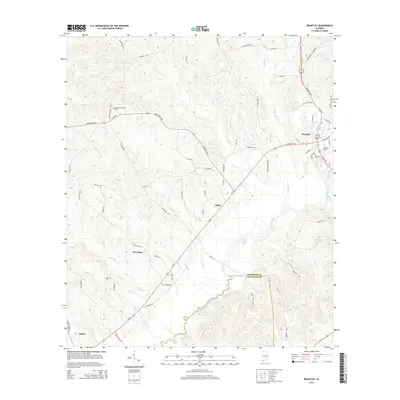
2014 Map of Brantley
USGS Topo · Published 2014About this map
Brantley anchors this portion of South Alabama, situated along the winding path of the Conecuh River near its upper reaches. The landscape is defined by a dense network of watercourses and rural settlements connected by historic thoroughfares like the Georgiana Hwy and Brantley Hwy. Small communities such as Theba and New Hope are documented alongside family-linked landmarks and early burial grounds, including Camerons Chapel Cem and Clark Cem. The topography reveals a complex drainage pattern where creeks like Sally Br, Dry Cr, and Muck Cr feed into the river system. At the southern edge of the survey, the Crenshaw Co and Covington Co line marks the transition toward Dozier, reflecting the enduring agricultural and residential footprint of this riverine territory.
Find a feature on this map
69 named features on this map. Tap any name to fly to it.
Don’t see what you’re looking for? This feature index may not catch every label — zoom into the map to look around manually.
Map Details
Editions of this 2014 Brantley Map
This is the sole edition of this map. No revisions or reprints were ever made.
Other maps of this area

1953 · Andalusia
USGS Topo · 1:250,000

1957 · Andalusia
USGS Topo · 1:250,000

1968 · Danleys Crossroads
USGS Topo · 1:24,000

1968 · Glenwood
USGS Topo · 1:24,000

1968 · Bullock
USGS Topo · 1:24,000

1971 · Dozier
USGS Topo · 1:24,000

1971 · Luverne
USGS Topo · 1:24,000

1971 · Brantley
USGS Topo · 1:24,000

1971 · Gantt
USGS Topo · 1:24,000

1971 · Leon
USGS Topo · 1:24,000