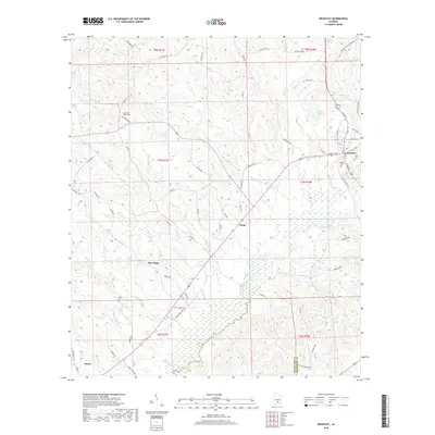
2018 Map of Brantley
USGS Topo · Published 2018About this map
The Conecuh River flows through this southern Alabama landscape, defining the character of the riverbottom lands south of Brantley. This corner of Crenshaw County is marked by several long-standing local landmarks, including the Camerons Chapel Cem and Clark Cem, which serve as vital points of reference for genealogists tracing family histories in the region. The map tracks the transition from the town center of Brantley out toward rural communities like Theba and New Hope.
Find a feature on this map
79 named features on this map. Tap any name to fly to it.
Don’t see what you’re looking for? This feature index may not catch every label — zoom into the map to look around manually.
Map Details
Editions of this 2018 Brantley Map
This is the sole edition of this map. No revisions or reprints were ever made.
Other maps of this area

1953 · Andalusia
USGS Topo · 1:250,000

1957 · Andalusia
USGS Topo · 1:250,000

1968 · Danleys Crossroads
USGS Topo · 1:24,000

1968 · Glenwood
USGS Topo · 1:24,000

1968 · Bullock
USGS Topo · 1:24,000

1971 · Dozier
USGS Topo · 1:24,000

1971 · Luverne
USGS Topo · 1:24,000

1971 · Brantley
USGS Topo · 1:24,000

1971 · Gantt
USGS Topo · 1:24,000

1971 · Leon
USGS Topo · 1:24,000