Loading...
Loading map...2024 Map of Brantley
USGS Topo · Published 2024About this map
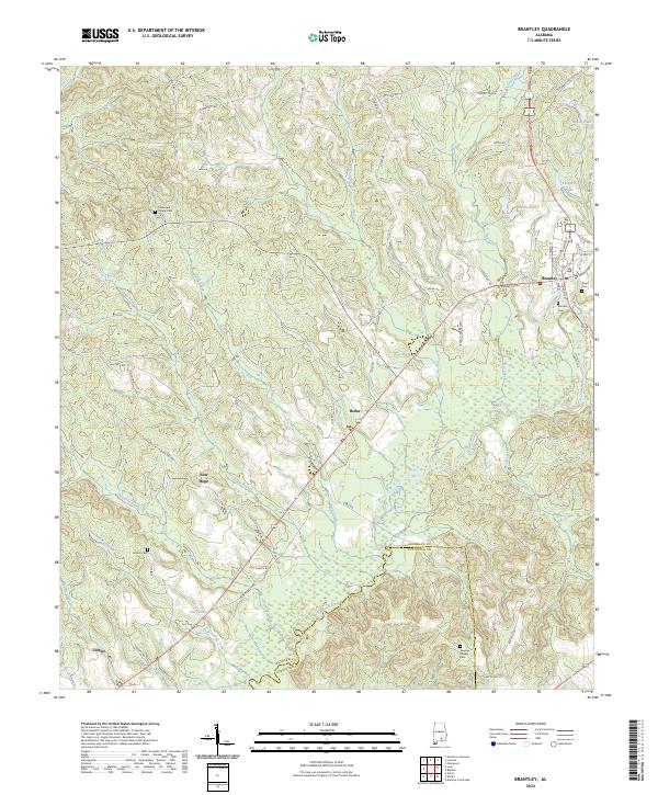
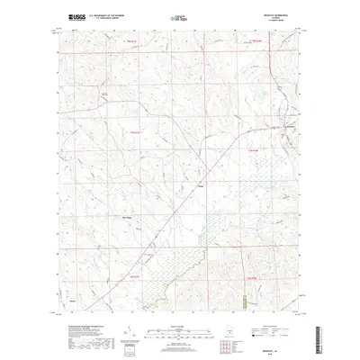
The Conecuh River meanders through the central and southern reaches of this landscape, defining the local geography as it flows past numerous small settlements. In the north, Brantley serves as a primary center of activity, while the smaller hamlets of Theba, New Hope, and Dozier are distributed along the road networks to the south and west. Local family and community history is anchored by several rural burial grounds, including Camerons Chapel Cem and Veaseys Chapel Cem.
Find a feature on this map
79 named features on this map. Tap any name to fly to it.
Don’t see what you’re looking for? This feature index may not catch every label — zoom into the map to look around manually.
Map Details
Date Portrayed2024
Date Published2024
PublisherU.S. Geological Survey
Map TypeTopographic
Scale1:24,000
Physical Dimensions24 x 29 inches
Editions of this 2024 Brantley Map
This is the sole edition of this map. No revisions or reprints were ever made.
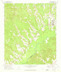
Historical Maps of Brantley Through Time
6 maps found
Featured Locations
Source Details
SourceU.S. Geological Survey
CopyrightPublic Domain