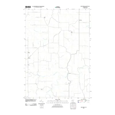
2010 Map of Bratsberg
USGS Topo · Published 2010About this map
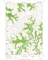
Highland Prairie Cemetery and the settlement of Bratsberg anchor the northern landscape of this Fillmore County map, which documents a region defined by its narrow ridges and winding river valleys. The topography is shaped by the South Fork Root River as it passes through Choice, with numerous tributaries like Diamond Creek and Shattuck Creek cutting into the surrounding upland farms.
Find a feature on this map
29 named features on this map. Tap any name to fly to it.
Don’t see what you’re looking for? This feature index may not catch every label — zoom into the map to look around manually.
Map Details
Editions of this 2010 Bratsberg Map
This is the sole edition of this map. No revisions or reprints were ever made.
Other maps of this area
1954 · Lewiston
USGS Topo · 1:62,500
1958 · Houston
USGS Topo · 1:62,500

1958 · La Crosse
USGS Topo · 1:250,000

1961 · La Crosse
USGS Topo · 1:250,000
1965 · La Crosse
USGS Topo · 1:250,000
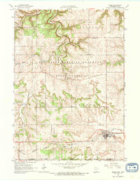
1965 · Mabel
USGS Topo · 1:24,000
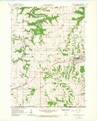
1965 · Spring Grove
USGS Topo · 1:24,000
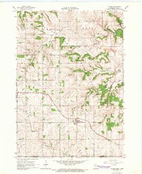
1965 · Canton
USGS Topo · 1:24,000
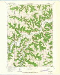
1965 · Yucatan
USGS Topo · 1:24,000
1965 · Bratsberg
USGS Topo · 1:24,000