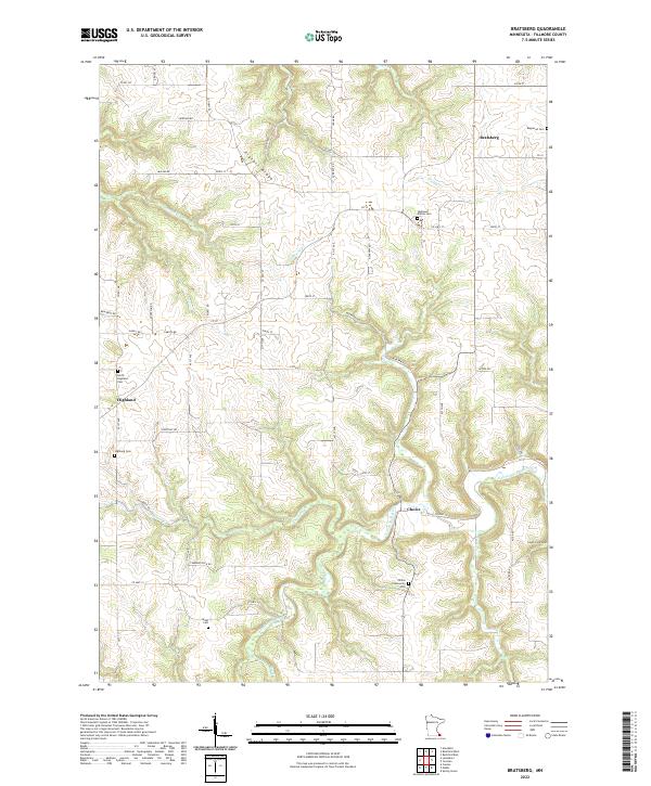
2022 Map of Bratsberg
USGS Topo · Published 2022About this map
Bratsberg and the surrounding rural uplands of Fillmore County are characterized by a dense concentration of historical burial grounds, reflecting the long-established farming communities of southeastern Minnesota. The landscape is defined by the high ground of Pigtail Ridge and the deep incisions carved by the S Fork Root River and its many tributaries, including Bridge Cr, Diamond Cr, and Shattuck Cr. The map reveals a highly structured network of county roads and avenues that connect scattered settlements like Highland and Choice. Genealogists will find this sheet particularly valuable for its precise locations of family and community landmarks, such as Highland Prairie Cem, Kopperud Cem, and the Wisel Cem near Wisel Cr. The topography indicates a terrain where agriculture has adapted to the winding valley floors and the flat tops of the surrounding ridges.
Find a feature on this map
61 named features on this map. Tap any name to fly to it.
Don’t see what you’re looking for? This feature index may not catch every label — zoom into the map to look around manually.
Map Details
Editions of this 2022 Bratsberg Map
This is the sole edition of this map. No revisions or reprints were ever made.
Other maps of this area

1954 · Lewiston
USGS Topo · 1:62,500

1958 · Houston
USGS Topo · 1:62,500

1958 · La Crosse
USGS Topo · 1:250,000

1961 · La Crosse
USGS Topo · 1:250,000

1965 · La Crosse
USGS Topo · 1:250,000

1965 · Mabel
USGS Topo · 1:24,000

1965 · Spring Grove
USGS Topo · 1:24,000

1965 · Canton
USGS Topo · 1:24,000

1965 · Yucatan
USGS Topo · 1:24,000

1965 · Bratsberg
USGS Topo · 1:24,000