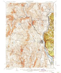
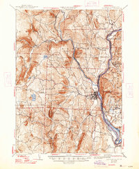
1935 Map of Brattleboro
USGS Topo · Published 1935About this map
The Connecticut River forms a shifting eastern boundary in this 1935 survey, where the state line is noted as indefinite along the water's edge. This area of Windham County is defined by the steep rises of Black Mountain and Governors Mountain, which channel local development into the river valleys. The Boston and Maine Railroad follows the main river corridor, while the Brattleboro and Whitehall Railroad snakes northwest along the Rock River, connecting clusters of settlement like Williamsville Station and South Newfane.
Find a feature on this map
69 named features on this map. Tap any name to fly to it.
Don’t see what you’re looking for? This feature index may not catch every label — zoom into the map to look around manually.
Map Details
Editions of this 1935 Brattleboro Map
5 editions found
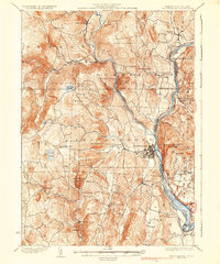
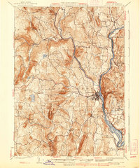
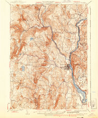
Other maps of this area

1886 · Hawley
USGS Topo · 1:62,500

1887 · Warwick
USGS Topo · 1:62,500

1889 · Warwick
USGS Topo · 1:62,500

1889 · Wilmington
USGS Topo · 1:62,500

1890 · Hawley
USGS Topo · 1:62,500

1890 · Greenfield
USGS Topo · 1:62,500

1891 · Wilmington
USGS Topo · 1:62,500

1891 · Brattleboro
USGS Topo · 1:62,500

1893 · Brattleboro
USGS Topo · 1:62,500

1894 · Greenfield
USGS Topo · 1:62,500