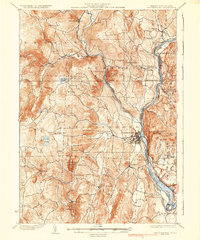
1935 Map of Brattleboro
USGS Topo · Published 1935About this map
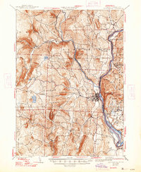
Brattleboro serves as the focal point of this 1935 survey, situated at the confluence of Whetstone Brook and the Connecticut River. The landscape is defined by its deep river valleys and prominent peaks like Black Mountain and Governors Mountain. The region's industrial and transportation infrastructure is well-established, featuring the Boston and Maine Railroad and the Maine Central Railroad tracing the riverbanks. Local genealogy and history are preserved through numerous small settlements such as Williamsville, Hinesburg, and Guilford. Distinctive landmarks like Childs Monument near Mine Ledge and rural education centers including Plains Sch and Monument Sch provide a detailed look at Vermont's social fabric before the mid-century. The map also captures the transition between Vermont and New Hampshire, marking the state boundary along the river's edge.
Find a feature on this map
76 named features on this map. Tap any name to fly to it.
Don’t see what you’re looking for? This feature index may not catch every label — zoom into the map to look around manually.
Map Details
Editions of this 1935 Brattleboro Map
5 editions found
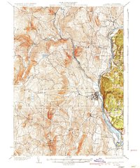
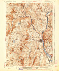
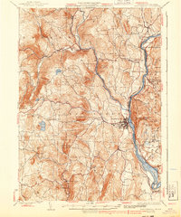
Other maps of this area

1886 · Hawley
USGS Topo · 1:62,500

1887 · Warwick
USGS Topo · 1:62,500

1889 · Warwick
USGS Topo · 1:62,500

1889 · Wilmington
USGS Topo · 1:62,500

1890 · Hawley
USGS Topo · 1:62,500

1890 · Greenfield
USGS Topo · 1:62,500

1891 · Wilmington
USGS Topo · 1:62,500

1891 · Brattleboro
USGS Topo · 1:62,500

1893 · Brattleboro
USGS Topo · 1:62,500

1894 · Greenfield
USGS Topo · 1:62,500