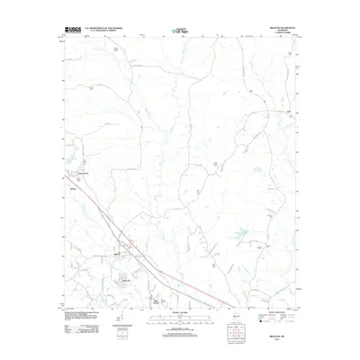
2012 Map of Braxton
USGS Topo · Published 2012About this map
Braxton sits as a central hub in this part of Mississippi, surrounded by a dense network of family-named cemeteries and rural settlements. The area is defined by the headwaters and tributaries of several creeks, including Thompson Cr, Dabbs Cr, and Sanders Cr, which carve through the landscape. Educational and religious landmarks are prominent, notably the Piney Woods school and the nearby Piney Woods Cem. The map reveals a community deeply rooted in its local history, with numerous small burial grounds such as Old Taylor Hill Cem, Zion Hill Cem, and Saint Johns Cem scattered across the countryside. To the east, the Cato Lookout Tower stands near the settlement of Cato, overlooking a terrain structured by old farm roads like Bill Hubbard Rd and Rupert Martin Rd.
Find a feature on this map
98 named features on this map. Tap any name to fly to it.
Don’t see what you’re looking for? This feature index may not catch every label — zoom into the map to look around manually.
Map Details
Editions of this 2012 Braxton Map
This is the sole edition of this map. No revisions or reprints were ever made.
Other maps of this area

1903 · Jackson
USGS Topo · 1:125,000

1906 · Florence
USGS Topo · 1:62,500

1908 · Florence
USGS Topo · 1:62,500

1953 · Hattiesburg
USGS Topo · 1:250,000

1953 · Meridian
USGS Topo · 1:250,000

1953 · Natchez
USGS Topo · 1:250,000

1955 · Jackson
USGS Topo · 1:250,000

1956 · Natchez
USGS Topo · 1:250,000

1957 · Meridian
USGS Topo · 1:250,000

1958 · Hattiesburg
USGS Topo · 1:250,000