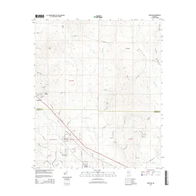
2015 Map of Braxton
USGS Topo · Published 2015About this map
The town of Braxton serves as a central hub on this Simpson County map, where the local road network converges near the Braxton Cem. The landscape is defined by the headwaters and tributaries of several prominent creeks, including Thompson Cr, Dabbs Cr, and Sanders Cr, which carve through the undulating terrain of the Piney Woods region. This area is notable for its high concentration of family and community burial grounds, such as the David Thomas Cem and Rockhill Cem, which provide significant data points for genealogical research. Further south, the settlement of Gum Springs sits near the namesake Gum Springs Cem, while Piney Woods and Pine Lake mark established residential and educational footprints. The boundary between Rankin and Simpson counties bisects the northern half of the sheet, illustrating the rural connectivity between these two Mississippi districts.
Find a feature on this map
89 named features on this map. Tap any name to fly to it.
Don’t see what you’re looking for? This feature index may not catch every label — zoom into the map to look around manually.
Map Details
Editions of this 2015 Braxton Map
This is the sole edition of this map. No revisions or reprints were ever made.
Other maps of this area

1903 · Jackson
USGS Topo · 1:125,000

1906 · Florence
USGS Topo · 1:62,500

1908 · Florence
USGS Topo · 1:62,500

1953 · Hattiesburg
USGS Topo · 1:250,000

1953 · Meridian
USGS Topo · 1:250,000

1953 · Natchez
USGS Topo · 1:250,000

1955 · Jackson
USGS Topo · 1:250,000

1956 · Natchez
USGS Topo · 1:250,000

1957 · Meridian
USGS Topo · 1:250,000

1958 · Hattiesburg
USGS Topo · 1:250,000