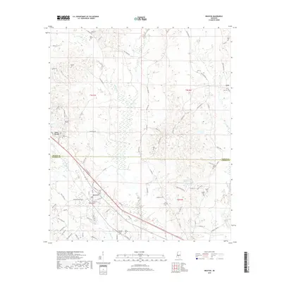
2018 Map of Braxton
USGS Topo · Published 2018About this map
Braxton sits at the intersection of local history and modern transit, centered where the boundary of Rankin Co and Simpson Co meets the winding path of Lenzie Braddy Rd. The landscape is a network of small family cemeteries and rural routes that reflect a long-standing community structure. Significant landmarks like Piney Woods and the Old Taylor Hill Cem provide tangible links to the area's social history, while Cato marks the eastern reach of this surveyed area. To the south, the terrain descends toward Phillips Lake and the drainage basins of Indian Cr and Campbell Cr. This modern survey records the persistent rural character of the region, where roads like Clara Foote Rd and Wade Patrick Rd connect disparate homesteads and sacred sites across the creek-fed hills.
Find a feature on this map
89 named features on this map. Tap any name to fly to it.
Don’t see what you’re looking for? This feature index may not catch every label — zoom into the map to look around manually.
Map Details
Editions of this 2018 Braxton Map
This is the sole edition of this map. No revisions or reprints were ever made.
Other maps of this area

1903 · Jackson
USGS Topo · 1:125,000

1906 · Florence
USGS Topo · 1:62,500

1908 · Florence
USGS Topo · 1:62,500

1953 · Hattiesburg
USGS Topo · 1:250,000

1953 · Meridian
USGS Topo · 1:250,000

1953 · Natchez
USGS Topo · 1:250,000

1955 · Jackson
USGS Topo · 1:250,000

1956 · Natchez
USGS Topo · 1:250,000

1957 · Meridian
USGS Topo · 1:250,000

1958 · Hattiesburg
USGS Topo · 1:250,000