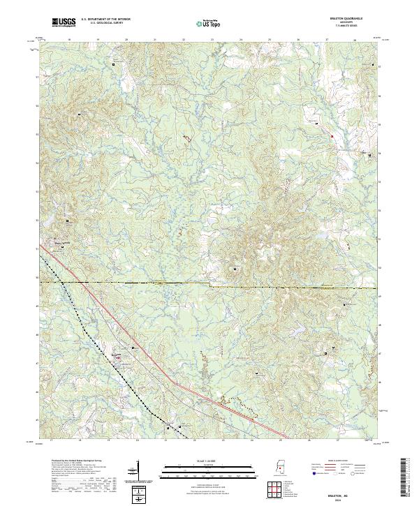
2024 Map of Braxton
USGS Topo · Published 2024About this map
Braxton sits at a geographic crossroads in Simpson County, where the settlement patterns reflect a landscape defined by small communities and numerous family burial grounds. The area is marked by the presence of Piney Woods, an established institution situated just north of the border between Rankin and Simpson Counties. The town of Braxton is concentrated near Mill Creek and Sanders Creek, showing a dense network of local roads including M A Neely Rd and Memorial Dr.
Find a feature on this map
85 named features on this map. Tap any name to fly to it.
Don’t see what you’re looking for? This feature index may not catch every label — zoom into the map to look around manually.
Map Details
Editions of this 2024 Braxton Map
This is the sole edition of this map. No revisions or reprints were ever made.
Other maps of this area

1903 · Jackson
USGS Topo · 1:125,000

1906 · Florence
USGS Topo · 1:62,500

1908 · Florence
USGS Topo · 1:62,500

1953 · Hattiesburg
USGS Topo · 1:250,000

1953 · Meridian
USGS Topo · 1:250,000

1953 · Natchez
USGS Topo · 1:250,000

1955 · Jackson
USGS Topo · 1:250,000

1956 · Natchez
USGS Topo · 1:250,000

1957 · Meridian
USGS Topo · 1:250,000

1958 · Hattiesburg
USGS Topo · 1:250,000