2022 Map of Brazil West
USGS Topo · Published 2022About this map
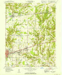
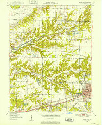
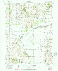
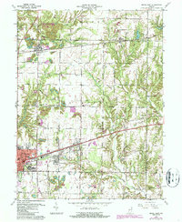
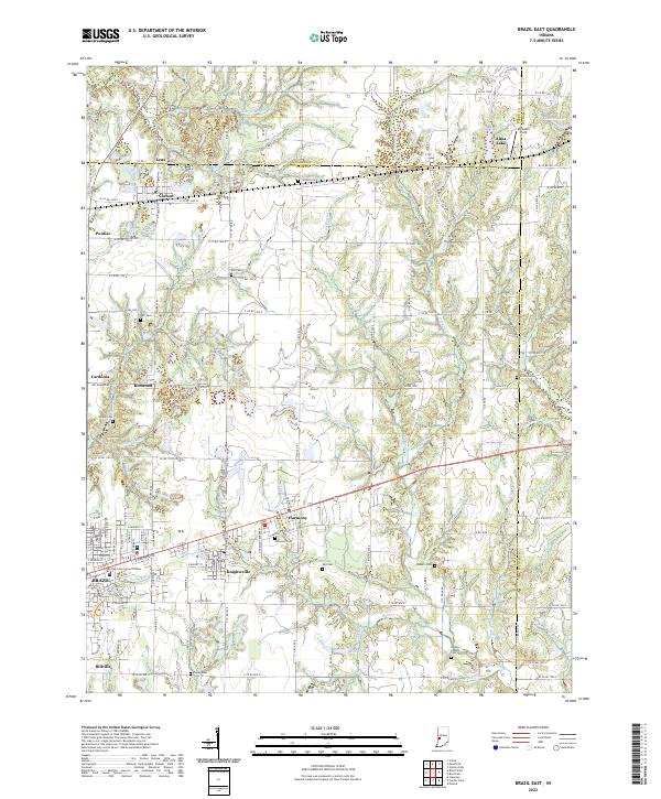
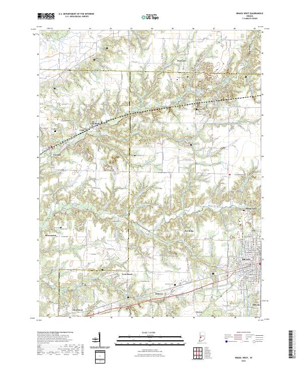
Brazil serves as the focal point for this western Indiana landscape where the borders of Clay, Vigo, and Parke counties converge. The town's northern expansion is bounded by several water features, including Water Works Lake and Waterworks Creek, while industrial legacy is hinted at by the drainage patterns of Cox Number One Ditch. Small mining and railway settlements like Coal Bluff, Billtown, and Ehrmandale are distributed across the terrain, connected by historical roadbeds such as Greencastle Rd. Genealogists will find a high density of burial sites across these rural stretches, including Saint Marys Cem, Sullivan Cem, and Billtown Cem. The intricate creek systems, including the North Branch Otter Creek and Little Creek, define the topography between these established communities, illustrating the complex relationship between the region's natural drainage and its historical infrastructure.
Find a feature on this map
179 named features on this map. Tap any name to fly to it.
Don’t see what you’re looking for? This feature index may not catch every label — zoom into the map to look around manually.
Map Details
Editions of this 2022 Brazil West Map
This is the sole edition of this map. No revisions or reprints were ever made.
Historical Maps of Cobb Through Time
8 maps found