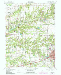
1960 Map of Brazil West
USGS Topo · Published 1987About this map
The industrial and agricultural landscape of western Indiana is clearly defined by the numerous Strip Mines and local rail lines like the Conrail corridor. Settlements such as Diamond, Perth, and Coal Bluff serve as focal points for local history, often clustered near the extractive sites that defined the area's economy. The topography is marked by a complex network of waterways, including Otter Creek and the southern flow of Big Raccoon Creek near the northern border, alongside the smaller Birch Creek. Community life is represented by a dense distribution of rural institutions, such as Rock Run Church and the Bee Ridge School, while the city of Brazil anchors the southeastern corner of the sheet with its landing field and urban grid. The map also captures specialized features like the Waterworks and recreational areas like Izaak Walton Lake, providing a clear view of the region's mid-century infrastructure and land use.
Find a feature on this map
75 named features on this map. Tap any name to fly to it.
Don’t see what you’re looking for? This feature index may not catch every label — zoom into the map to look around manually.
Map Details
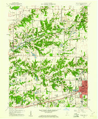
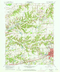
Editions of this 1960 Brazil West Map
3 editions found
Other maps of this area

1908 · Clay City
USGS Topo · 1:48,000

1910 · Clay City
USGS Topo · 1:62,500

1941 · Seelyville
USGS Topo · 1:24,000

1950 · Rosedale
USGS Topo · 1:24,000

1950 · Brazil East
USGS Topo · 1:24,000

1950 · Brazil West
USGS Topo · 1:24,000

1951 · Mecca
USGS Topo · 1:24,000

1951 · Mansfield
USGS Topo · 1:24,000

1952 · Catlin
USGS Topo · 1:24,000

1952 · Seelyville
USGS Topo · 1:24,000