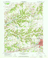
1960 Map of Brazil West
USGS Topo · Published 1973About this map
Brazil and its western rural surroundings define this 1960s landscape, where the transition from agricultural fields to heavy industry is marked by numerous Strip Mine operations. The territory is crisscrossed by the Penn Central railroad, which served as a vital artery for the region's coal and clay resources. Deeply etched drainage patterns from Otter Creek and its branches, including Little Otter Creek and North Branch, cut through the terrain, influencing the placement of early settlements like Diamond, Perth, and Coal Bluff.
Find a feature on this map
71 named features on this map. Tap any name to fly to it.
Don’t see what you’re looking for? This feature index may not catch every label — zoom into the map to look around manually.
Map Details
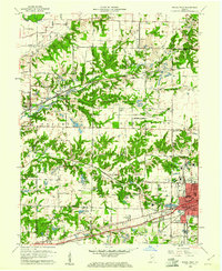
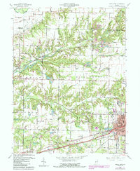
Editions of this 1960 Brazil West Map
3 editions found
Other maps of this area

1908 · Clay City
USGS Topo · 1:48,000

1910 · Clay City
USGS Topo · 1:62,500

1941 · Seelyville
USGS Topo · 1:24,000

1950 · Rosedale
USGS Topo · 1:24,000

1950 · Brazil East
USGS Topo · 1:24,000

1950 · Brazil West
USGS Topo · 1:24,000

1951 · Mecca
USGS Topo · 1:24,000

1951 · Mansfield
USGS Topo · 1:24,000

1952 · Catlin
USGS Topo · 1:24,000

1952 · Seelyville
USGS Topo · 1:24,000