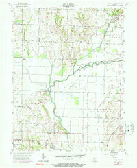
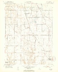
1957 Map of Saline City
USGS Topo · Published 1983About this map
Saline City sits at the junction of the Penn Central railroad and Birch Creek in this mid-century survey of western Indiana. The landscape is defined by the winding course of the Eel River, which flows through Lewis and Harrison townships, flanked by drainage features like Little Slough and Big Slough. This map documents a transitional industrial period where traditional landmarks like the Neal Mill Bridge and several country churches, including Zion Ch and Briley Chapel, coexist with modern developments like an extensive Pipeline and the emerging footprint of a Strip Mine. Local history is preserved in the location of family and community sites such as Zion-Summers Cem and Maple Grove Cem, while the geography of the river bottom is highlighted by features like Hickory Island and the elevated ground of Sugar Ridge.
Find a feature on this map
46 named features on this map. Tap any name to fly to it.
Don’t see what you’re looking for? This feature index may not catch every label — zoom into the map to look around manually.
Map Details
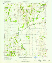
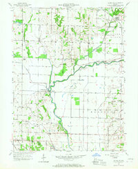
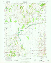
Editions of this 1957 Saline City Map
4 editions found
Other maps of this area

1908 · Clay City
USGS Topo · 1:48,000

1910 · Clay City
USGS Topo · 1:62,500

1938 · Coal City
USGS Topo · 1:24,000

1940 · Lewis
USGS Topo · 1:24,000

1940 · Jasonville
USGS Topo · 1:24,000

1941 · Seelyville
USGS Topo · 1:24,000

1943 · Hymera
USGS Topo · 1:24,000

1948 · Coal City
USGS Topo · 1:24,000
1952 · Lewis
USGS Topo · 1:24,000

1952 · Seelyville
USGS Topo · 1:24,000