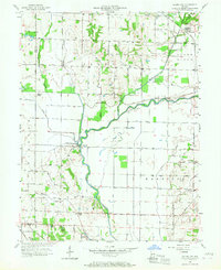
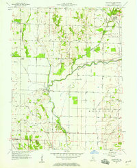
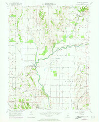
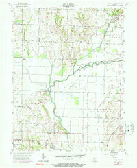
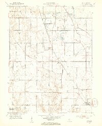
1957 Map of Saline City
USGS Topo · Published 1967About this map
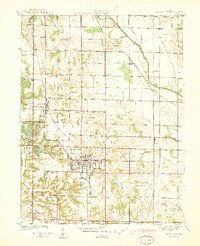
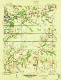
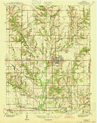
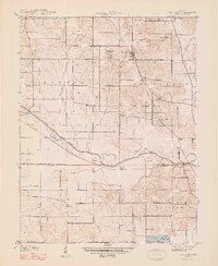
The Eel River winds through the central Indiana landscape on this mid-century survey, creating a serpentine boundary for the rural townships of Harrison, Lewis, and Perry. The settlement of Saline City sits in the northeast corner at the crossing of the New York Central railroad, while Coalmont is located further south near the border of Vigo and Clay Counties. The area shows a transition in land use, from the traditional agrarian pattern of small family cemeteries like Stagg Cem and Maple Grove Cem to industrial developments like the Strip Mine and the presence of a significant pipeline corridor.
Find a feature on this map
38 named features on this map. Tap any name to fly to it.
Don’t see what you’re looking for? This feature index may not catch every label — zoom into the map to look around manually.
Map Details
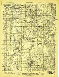
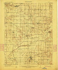
Editions of this 1957 Saline City Map
4 editions found
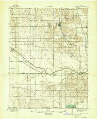
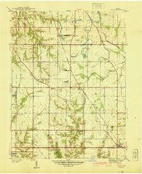
Other maps of this area
1908 · Clay City
USGS Topo · 1:48,000
1910 · Clay City
USGS Topo · 1:62,500
1938 · Coal City
USGS Topo · 1:24,000
1940 · Lewis
USGS Topo · 1:24,000
1940 · Jasonville
USGS Topo · 1:24,000
1941 · Seelyville
USGS Topo · 1:24,000
1943 · Hymera
USGS Topo · 1:24,000
1948 · Coal City
USGS Topo · 1:24,000
1952 · Lewis
USGS Topo · 1:24,000
1952 · Seelyville
USGS Topo · 1:24,000