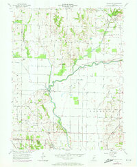
1957 Map of Saline City
USGS Topo · Published 1973About this map
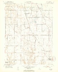
The Eel River winds through this landscape on the border of Clay, Vigo, and Sullivan counties, defining a region of bottomlands and low ridges. The settlement of Saline City sits in the northeast near the Penn Central railroad line, while smaller locales like Old Hill and Hickory Island appear as landmarks within the river's drainage basin. This 1950s era survey, later updated in the early 1970s, captures the local infrastructure of rural Indiana, including the Neal Mill Bridge and the extensive water management systems of Lafferty Ditch and Conneley Ditch. Local genealogy is well-documented through several country burial sites and congregations, such as Zion-Gummere Cem, Maple Grove Cem, and Briley Chapel. The terrain transitions from the marshy reaches of Splunge Slough to the higher elevations of Sugar Ridge, reflecting the area's agricultural and hydrologic character before modern development.
Find a feature on this map
30 named features on this map. Tap any name to fly to it.
Don’t see what you’re looking for? This feature index may not catch every label — zoom into the map to look around manually.
Map Details
Editions of this 1957 Saline City Map
4 editions found
Other maps of this area

1908 · Clay City
USGS Topo · 1:48,000

1910 · Clay City
USGS Topo · 1:62,500

1938 · Coal City
USGS Topo · 1:24,000

1940 · Lewis
USGS Topo · 1:24,000

1940 · Jasonville
USGS Topo · 1:24,000

1941 · Seelyville
USGS Topo · 1:24,000

1943 · Hymera
USGS Topo · 1:24,000

1948 · Coal City
USGS Topo · 1:24,000
1952 · Lewis
USGS Topo · 1:24,000

1952 · Seelyville
USGS Topo · 1:24,000