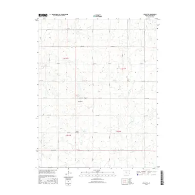
2015 Map of Brazilton
USGS Topo · Published 2015About this map
Brazilton and Greenbush anchor this Crawford County landscape, where the township and range lines of the Public Land Survey System define a strict grid of section roads. The map reveals a rural community deeply connected to its local heritage through numerous burial sites, including the Lutheran Cem in the north and the Spangler Pleasant Valley Cem further south. These landmarks, along with Brazilton Cem and Iowa Cem, provide critical touchstones for genealogical research in this part of Kansas.
Find a feature on this map
40 named features on this map. Tap any name to fly to it.
Don’t see what you’re looking for? This feature index may not catch every label — zoom into the map to look around manually.
Map Details
Editions of this 2015 Brazilton Map
This is the sole edition of this map. No revisions or reprints were ever made.
Other maps of this area

1884 · Fort Scott
USGS Topo · 1:125,000

1886 · Joplin
USGS Topo · 1:125,000

1886 · Iola
USGS Topo · 1:125,000

1886 · Fort Scott
USGS Topo · 1:125,000

1886 · Parsons
USGS Topo · 1:125,000

1893 · Fort Scott
USGS Topo · 1:125,000

1893 · Iola
USGS Topo · 1:125,000

1893 · Parsons
USGS Topo · 1:125,000

1894 · Joplin
USGS Topo · 1:125,000

1904 · Iola
USGS Topo · 1:125,000