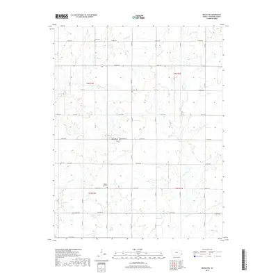
2018 Map of Brazilton
USGS Topo · Published 2018About this map
Brazilton and the southern settlement of Greenbush anchor this Crawford County landscape, where the agricultural grid of the Kansas plains is defined by section lines and family-named landmarks. The area's social history is preserved in its numerous rural burying grounds, including Brazilton Cem, Lutheran Cem, and the Spangler Pleasant Valley Cem, which serve as quiet markers of the community's early development and heritage.
Find a feature on this map
41 named features on this map. Tap any name to fly to it.
Don’t see what you’re looking for? This feature index may not catch every label — zoom into the map to look around manually.
Map Details
Editions of this 2018 Brazilton Map
This is the sole edition of this map. No revisions or reprints were ever made.
Other maps of this area

1884 · Fort Scott
USGS Topo · 1:125,000

1886 · Joplin
USGS Topo · 1:125,000

1886 · Iola
USGS Topo · 1:125,000

1886 · Fort Scott
USGS Topo · 1:125,000

1886 · Parsons
USGS Topo · 1:125,000

1893 · Fort Scott
USGS Topo · 1:125,000

1893 · Iola
USGS Topo · 1:125,000

1893 · Parsons
USGS Topo · 1:125,000

1894 · Joplin
USGS Topo · 1:125,000

1904 · Iola
USGS Topo · 1:125,000